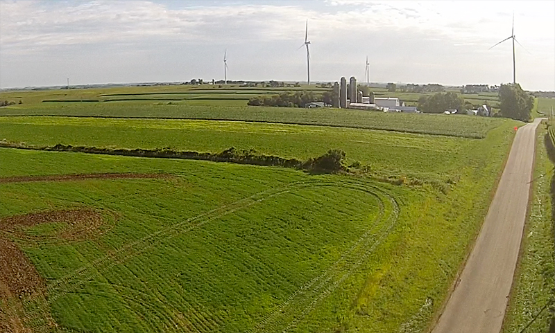
One of the biggest concerns in land application is over-application. Over applying can cause major issues for our environment that can trickle down throughout the entire ecosystem. For years, there was no system for recording, monitoring and verifying application quantities and companies were expected to stick to the honor system, which was highly abused. Our passion to protect the environment drove us to solve this problem.
We teamed up with others in the industry to develop a grid-mapping system and to monitor and verify the amount of application. This system ensures that we are complying with regulations and avoiding over-application. We started developing the concept in the mid-80s and it was used exclusively by Bytec until the Wisconsin Department of Natural Resources (DNR) began encouraging other land application companies to adopt the same practices.
We have also developed a computer-based reporting system, which is used to track waste gallons as they are transported from the processing plant to their next destination. The system helps us to record time of pickup, what truck made the pickup and where it was delivered, be it land, storage or alternative disposal. It also tracks all land application details including who spread it, when it was spread and the DNR site number and location. This system is exclusive to Bytec and is used to provide the DNR with our year-end report and invoicing.
We take pride in both the grid-mapping system and computer-based reporting system that we have developed. They help us to accurately monitor and report to the DNR and more importantly, to achieve our main goal – protecting our environment.
